Most property owners do not think about their irrigation system until problems appear. Rising water bills, dry patches, and broken pipes often point to a bigger issue: nobody fully understands how the system is laid out underground.
Irrigation system mapping creates a clear record of pipes, valves, sprinkler heads, and zones, making irrigation systems easier to maintain and more water-efficient. Proper documentation can also help reduce water loss, which remains a major issue, as the U.S. Environmental Protection Agency (EPA) reports that households waste nearly 10,000 gallons of water every year due to leaks.
What Is Irrigation System Mapping?
Irrigation system mapping is the process of documenting the layout and components of an irrigation system. The finished map acts as a blueprint that shows exactly how water moves throughout a property.
A professional irrigation map typically includes:
- Irrigation zones
- Sprinkler head locations
- Valve box locations
- Main water lines
- Lateral pipe routing
- Controllers and timers
- Wiring paths
Without proper documentation, irrigation systems become increasingly difficult to maintain. Repairs often turn into guesswork, especially when underground components are involved.
Many commercial landscapes go through years of upgrades, repairs, and modifications. Over time, important system details get lost. Contractors may no longer know where valves are located or how pipes are routed underground. Irrigation system mapping eliminates that uncertainty by creating accurate, organized records that can be referenced at any time.
Why Irrigation System Mapping Matters
Many property owners underestimate how expensive poor irrigation documentation can become.
When irrigation systems are not mapped properly, maintenance crews may spend hours searching for valves, tracing damaged lines, or identifying zone connections. Those delays increase labor costs and slow down repairs.
Accurate irrigation system mapping helps:
- Detect leaks faster
- Reduce water waste
- Improve system efficiency
- Prevent unnecessary digging
- Simplify future renovations
- Improve communication between contractors
It also helps property managers make smarter long-term decisions.
For example, if a landscape renovation requires excavation, contractors can review the irrigation map beforehand. This reduces the risk of cutting through underground pipes or damaging valve wiring during construction.
Common Irrigation Problems
Incomplete or outdated irrigation records can create serious maintenance and water management issues. Without accurate system mapping, small problems often become expensive repairs that take longer to resolve.
- Hidden Leaks – Underground leaks can go unnoticed for months, increasing water waste and making repairs more expensive without a clear irrigation map.
- Uneven Water Coverage – Poor documentation can lead to overlapping zones, outdated sprinkler placements, and inconsistent watering across the landscape.
- Dry Patches – Areas with limited sprinkler coverage may not receive enough water, causing stressed or dying turf.
- Oversaturated Soil – Overwatering in certain zones can create soggy soil conditions that damage plant health.
- Plant Stress – Inconsistent irrigation patterns can weaken plants and make landscapes harder to maintain.
- Turf Disease – Excess moisture and poor drainage often create ideal conditions for fungal growth and lawn disease.
- Runoff Issues – Incorrect spray coverage can waste water through runoff onto sidewalks, parking lots, and other hard surfaces.
- Delayed Emergency Repairs – Missing valve locations and unclear system layouts can slow down emergency repairs and increase property damage.
- Contractor Confusion – New maintenance teams often waste valuable time trying to understand undocumented irrigation systems before repairs can even begin.
How to Map an Irrigation System?
Mapping an irrigation system requires careful inspection, testing, and documentation of every major component. A detailed map helps property owners locate problems faster, improve maintenance, and keep the system organized over time.
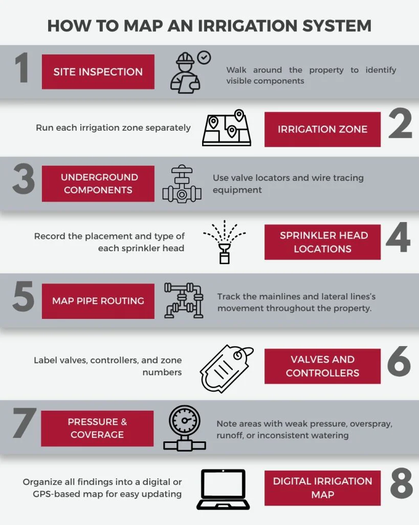
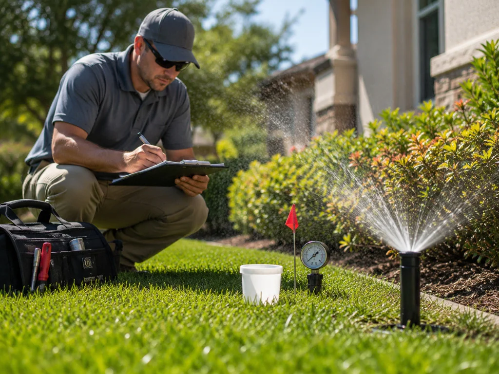
- Start With a Site Inspection – Walk the property to identify visible components such as controllers, sprinkler heads, valve boxes, and water sources.
- Identify Irrigation Zones – Run each irrigation zone separately to record spray patterns, coverage areas, and potential performance issues.
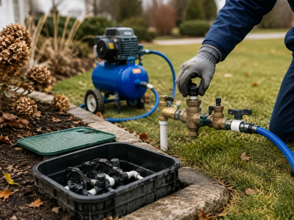
- Locate Underground Components – Use valve locators and wire tracing equipment to identify underground pipes, wiring, and hidden valves.
- Document Sprinkler Head Locations – Record the placement and type of each sprinkler head to improve future repairs and coverage adjustments.
- Map Pipe Routing – Track how mainlines and lateral lines move throughout the property to simplify future excavation and maintenance work.
- Label Valves and Controllers – Clearly label valves, controllers, and zone numbers to make troubleshooting faster and more organized.
- Record Pressure and Coverage Issues – Note areas with weak pressure, overspray, runoff, or inconsistent watering during the inspection process.
- Create a Digital Irrigation Map – Organize all findings into a digital or GPS-based map that can be updated whenever the system changes.
Tools and Technology Used
Modern irrigation system mapping relies on specialized tools and technology to improve accuracy and reduce guesswork. These tools help contractors locate underground infrastructure, identify system issues, and create organized records for future maintenance.
- GPS Mapping Technology – GPS tools help technicians record precise locations of irrigation components across large properties.
- Digital Mapping Software – Digital platforms organize irrigation data into detailed maps that are easier to update and share.
- Valve Locators – Valve locating equipment helps crews quickly identify buried valves without unnecessary digging.
- Wire Tracing Tools – Wire tracers detect underground irrigation wiring and simplify troubleshooting during repairs.
- Pipe Detection Equipment – Pipe locating tools help identify underground pipe routing to prevent accidental damage during excavation.
- Smart Irrigation Controllers – Smart controllers monitor watering schedules, system performance, and water usage more efficiently.
- Pressure Testing Tools – Pressure testing equipment helps identify leaks, weak zones, and inconsistent water flow throughout the system.
- Drone Technology – Some contractors use drones to inspect large commercial landscapes and identify irrigation coverage issues from above.
DIY vs. Professional Irrigation System Mapping
Some homeowners choose to map their irrigation systems themselves, especially for smaller residential properties with simple layouts. DIY mapping can help identify basic zone locations, sprinkler heads, and controllers, but it often misses underground components like buried pipes, wiring, and hidden valves.
Professional irrigation system mapping provides a more accurate and detailed record of the entire system. Contractors use specialized tools to locate underground infrastructure, identify pressure issues, and create organized digital maps that simplify future maintenance, repairs, and renovations.
How Often Should Irrigation Systems Be Remapped?
Irrigation systems should be remapped whenever major changes or recurring issues affect the property. Landscape renovations, controller upgrades, pipe replacements, zone expansions, and frequent repair problems can all make existing irrigation maps outdated or inaccurate.
Large commercial properties especially benefit from regular mapping updates because accurate documentation helps maintenance teams respond faster and manage the system more efficiently over time.
Trust Corbett Irrigation
Irrigation system mapping helps property owners manage their landscapes more efficiently while reducing water waste and unnecessary repair costs. With accurate system documentation, maintenance teams can locate issues faster, simplify future upgrades, and avoid costly mistakes during renovations.
If your property has recurring irrigation problems, outdated records, or an aging system, updating your irrigation map can make long-term maintenance far easier. Corbett Irrigation provides detailed irrigation system mapping services that help protect your landscape, improve system performance, and keep your irrigation system organized for years to come.